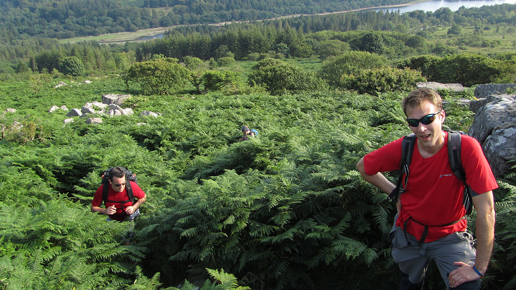
A collection of posts, both Dartmoor and further afield, by Paul Buck that originally appeared on the blog www.moorlandwalks.co.uk
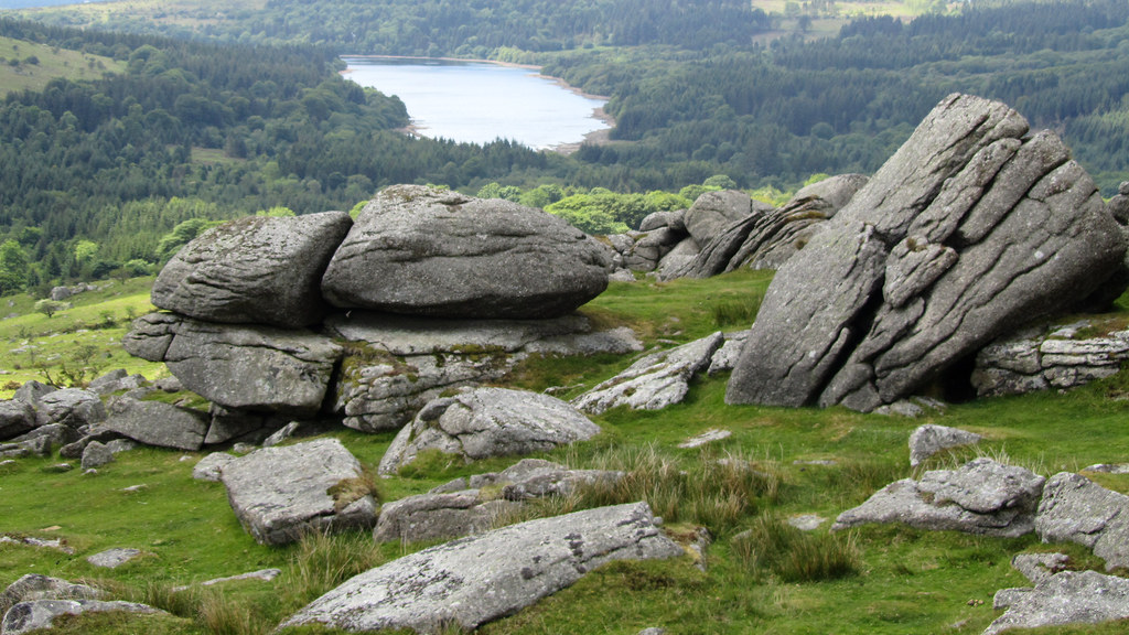
- Dartmoor Discovered: Flock O’ Sheep Rocks
- Hucken Tor, Dartmoor
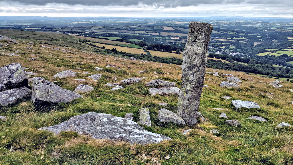
- The South Zeal / Duchy of Cornwall Stones
- Belstone Cleave and the land beyond Sticklepath (in pictures)
- A wander out to Valley of Rocks and Shelstone Tor
- East Hill Views – New Years Day 2021
- Meldon Hill from Shapley Common
- Branscombe’s Loaf Wild Camp (in pictures)
- Big Whit Hill, Wild Tor, Steeperton and the Belstone Ridge (in pictures)
- Rowtor Wild Camp
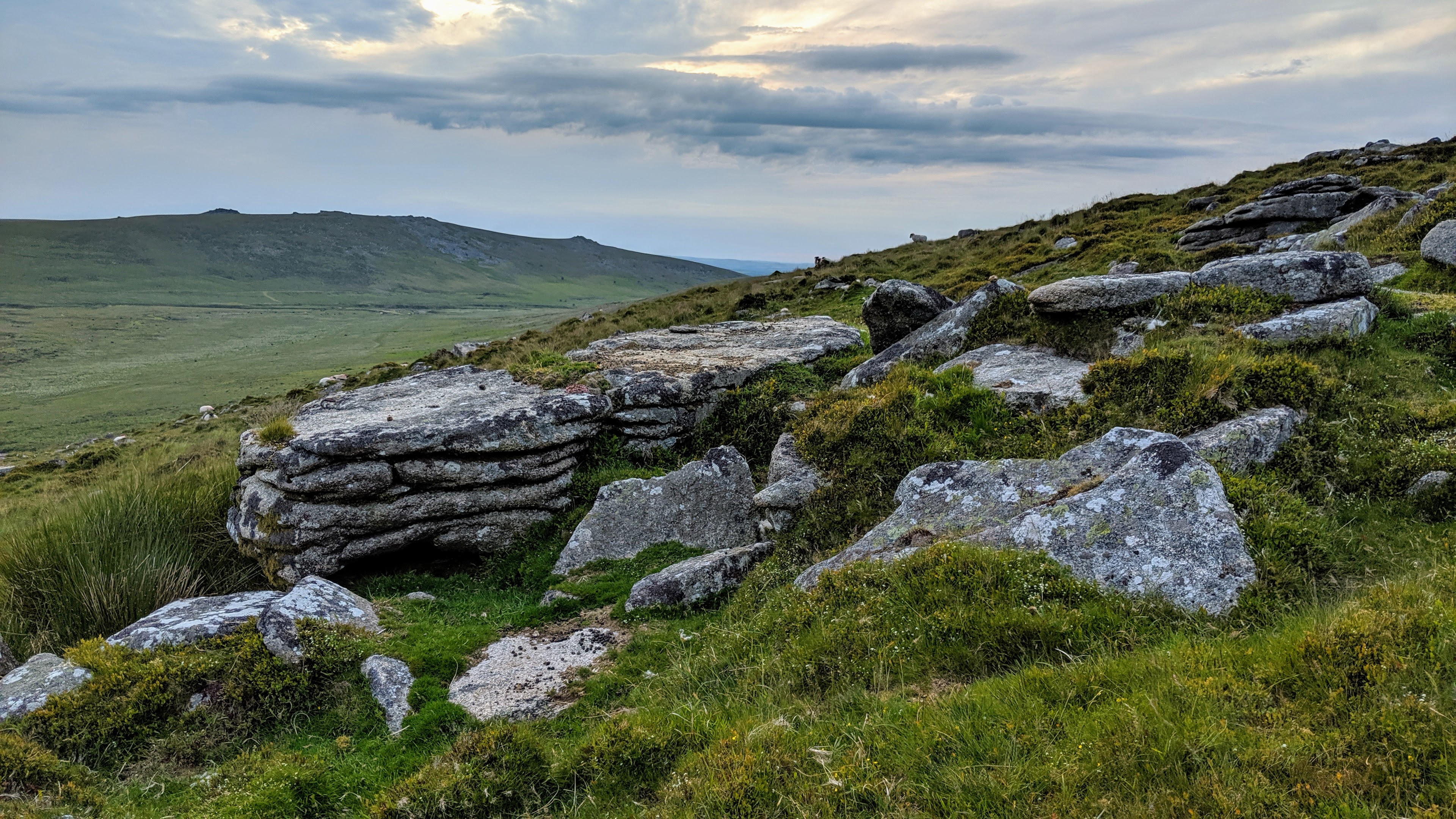
- Shelstone Tor and Corn Ridge
- Introducing Tors of Dartmoor
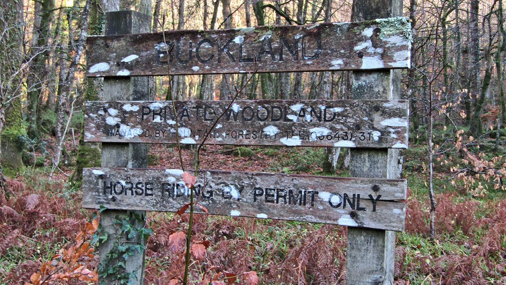
- Buckland Woods: Buckland Bridge to Ausewell Woods
- South Down, Meldon
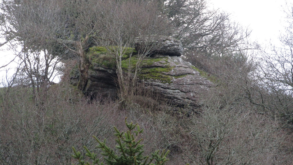
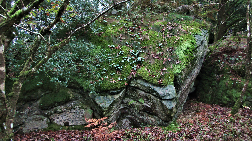
- Discovering the real Black Rocks, and other outcrops
- Rediscovering Strane Tor
- Buckland Woods: East Webburn from Lizwell Meet
- Shillyrock or William Crossings’ “Druid’s Altar”
- In Search of Hollowpark Rock
- Buckland Woods: Buckland Bridge to Lizwell Meet
- A rummage around Canonteign Down
- The Tors and Rocks of Blackadon Down
- Bee Tor (with kind permission)
- Ausewell Woods (with kind permission)
- Coombe Tor
- The search for “Granate” Tor
- Dartmoor: Hyner Rocks
- Oddy, Nympenhole, Viper – separating fact from fiction
- Gibby Combe Tor
- Holne Chase (with kind permission)
- Torrycombe Tor, Crownhill Tor
- Foxes’ Yard, a Round of Beef and rethinking Water Rock
- Was Tor
- Tors and Rocks from Cadover Bridge
- In Search of Chub Tor
- Tors of Dartmoor: The beginning?
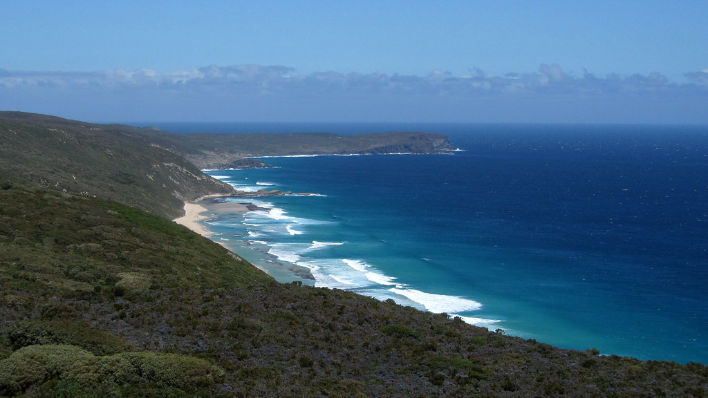
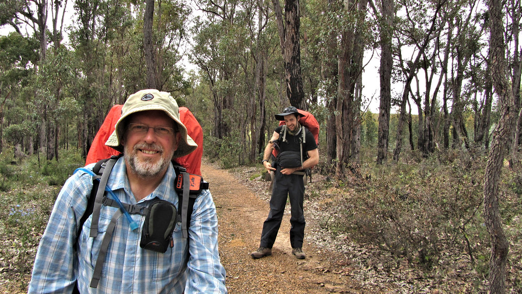
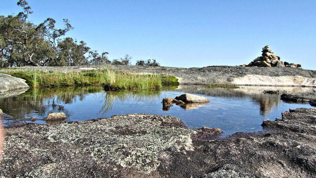
- The Bibbulmun Track – Denmark to Albany
- The Bibbulmun Track – Walpole to Denmark
- The Bibbulmun Track – Northcliffe to Walpole
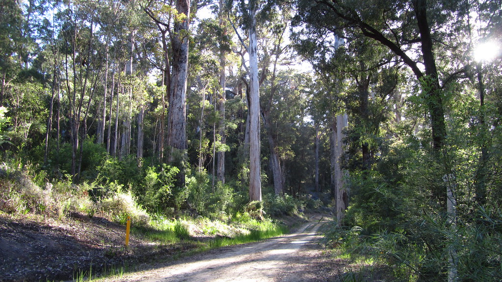
- The Bibbulmun Track – Pemberton to Northcliffe
- The Bibbulmun Track – Balingup to Pemberton
- The Bibbulmun Track – Collie to Balingup
- The Bibbulmun Track – Dwellingup to Collie
- The Bibbulmun Track – Mt. Cooke to Dwellingup
- The Bibbulmun Track – Brookton to Mount Cooke
- The Bibbulmun Track – Kalamunda to Brookton
- The Bibbulmun Track: WA Weather Woes
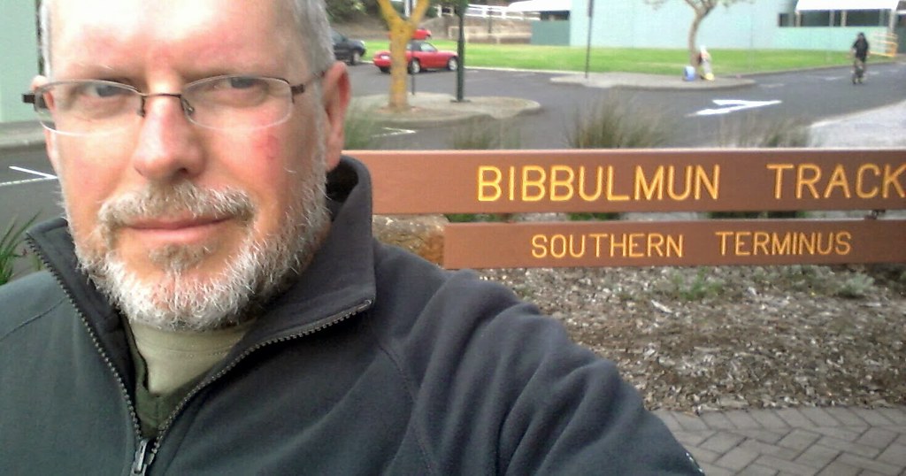
- The Bibbulmun Track: final UK preparations
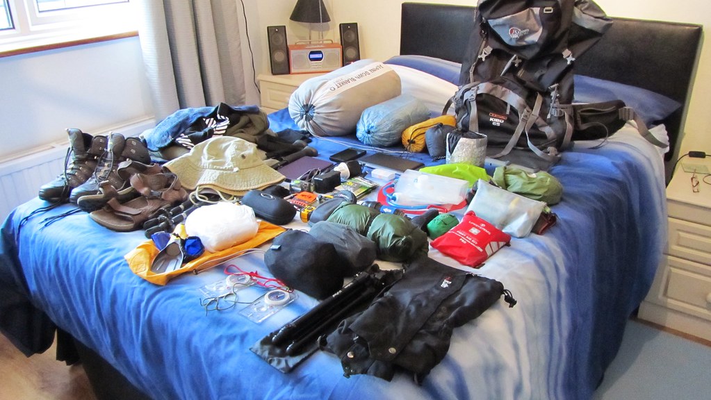
- The Bibbulmun Track: my kit
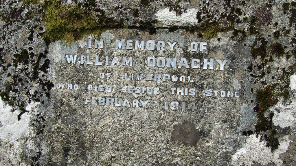
- The Whitehorse Hill Cist and death on the moor!
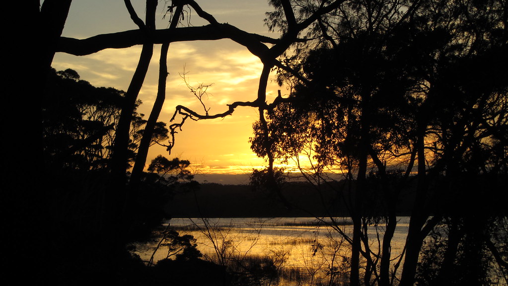
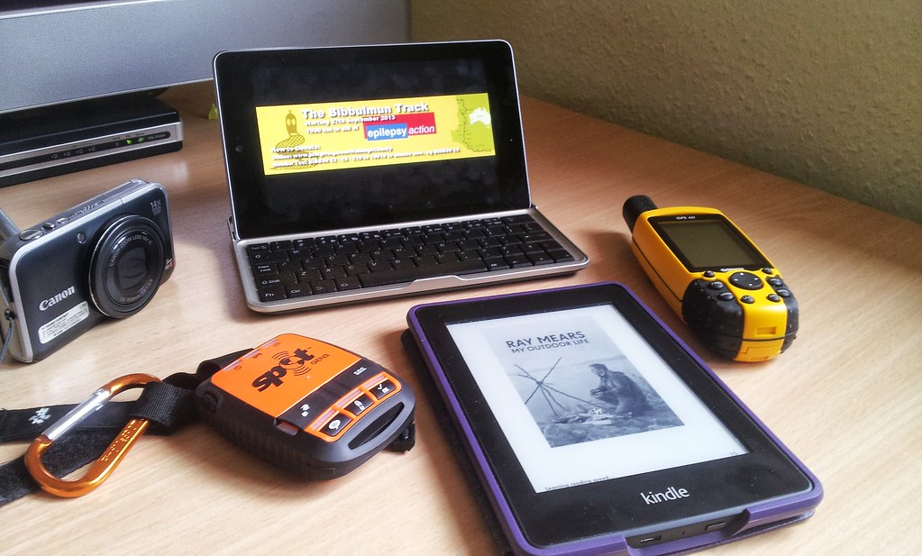
- The Bibbulmun Track: An outback office
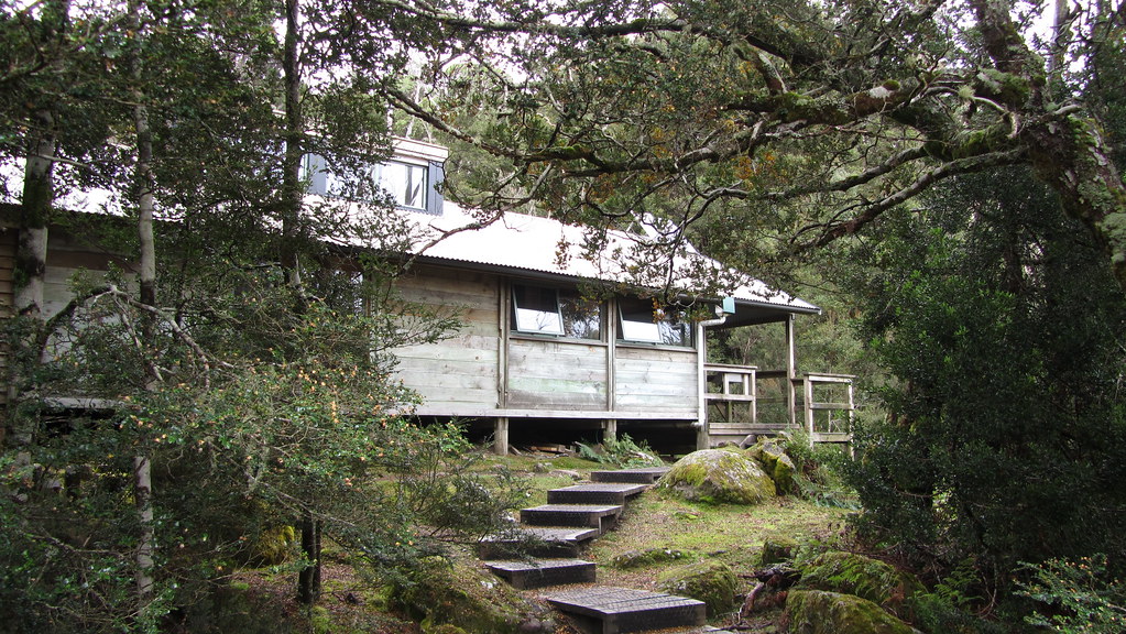
- Overland Track Day 6 – Bert Nicholls to Lake St. Clair

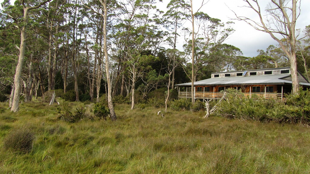
- Overland Track Day 5 – Kia Ora to Bert Nichols
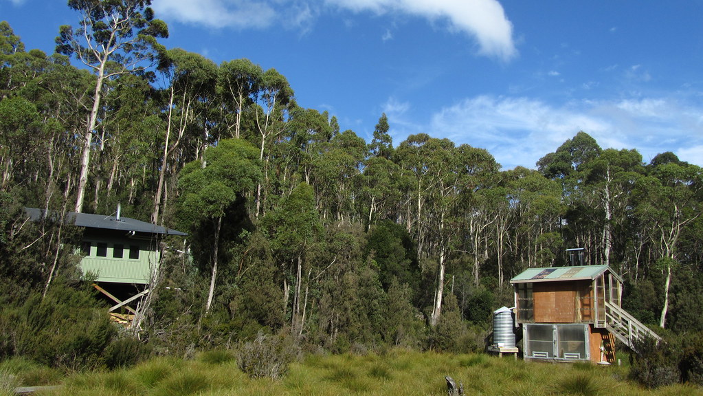
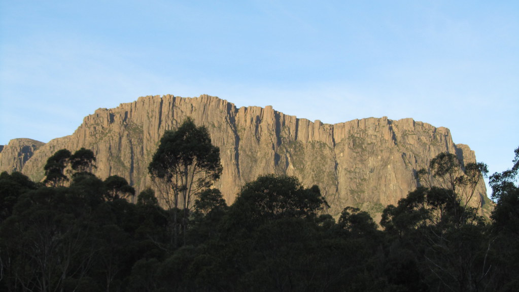
- Overland Track Day 4 – New Pelion to Kia Ora
- Overland Track Day 3 – Windermere to New Pelion
- Overland Track Day 2 – Waterfall Valley to Windermere
- Overland Track Day 1 – Ronny Creek to Waterfall Valley
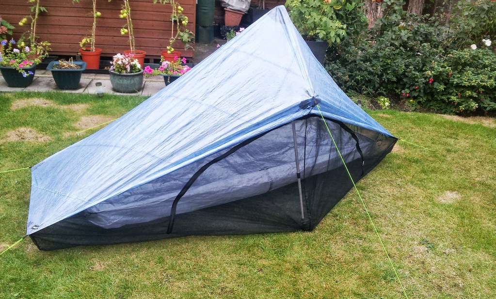
- Rowtor Wild Camp
- Cosdon from South Zeal
- Down Tor